After arriving back from Unalakleet with the C-130 I rushed over to the Bell 412 and fired her up for departure to McGrath. But before this happened I took advantage of installing the Finn-Ice water textures, which freeze all water near the coast and inside the land.
I departed at 13:41 and climbed to 10000 feet with a filed IFR flight plan. Shortly after crossing RWY 14/32 I did one look back to the crowded ramp of UPS and Northwest Cargo.
As I approached Rainy Pass FS9 again crashed to Desktop and so I decided to uninstall the winter version of Rainy pass and activated the summer version: With Finn-Ice Puntilla lake is still frozen ;-)
Once I cleared the Alaska Range ATC cleared us for a visual approach to RWY 16, but I instead selected a localizer RWY 16 approach with a MCG transition and as I expected I was cleared to MCG VOR. As I was near the airport I descended further - in the meantime I had been cleared to 4000 feet, but got too low - 'disregarding' ATC and with about 2 miles to the airport I was cleared to switch to advisory for the final approach. I circled the airport a little bit and landed near our hangar at 15:17 after a flying time of 01:36.
Some volunteers were already standing by and as soon as I switched the engines off and the rotor came to a halt, they begun to load the food bags into the Bell.
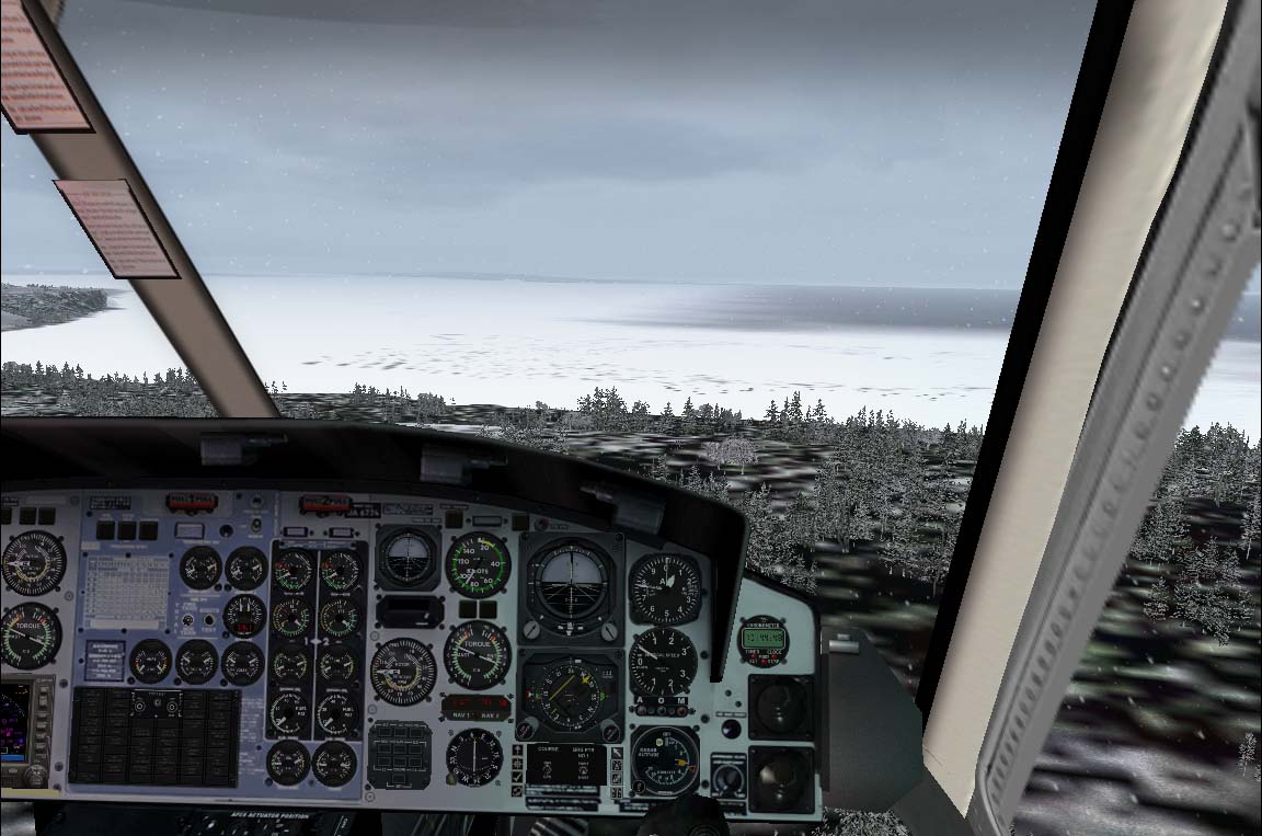
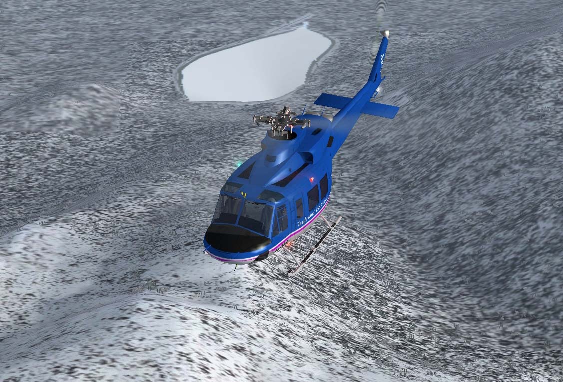
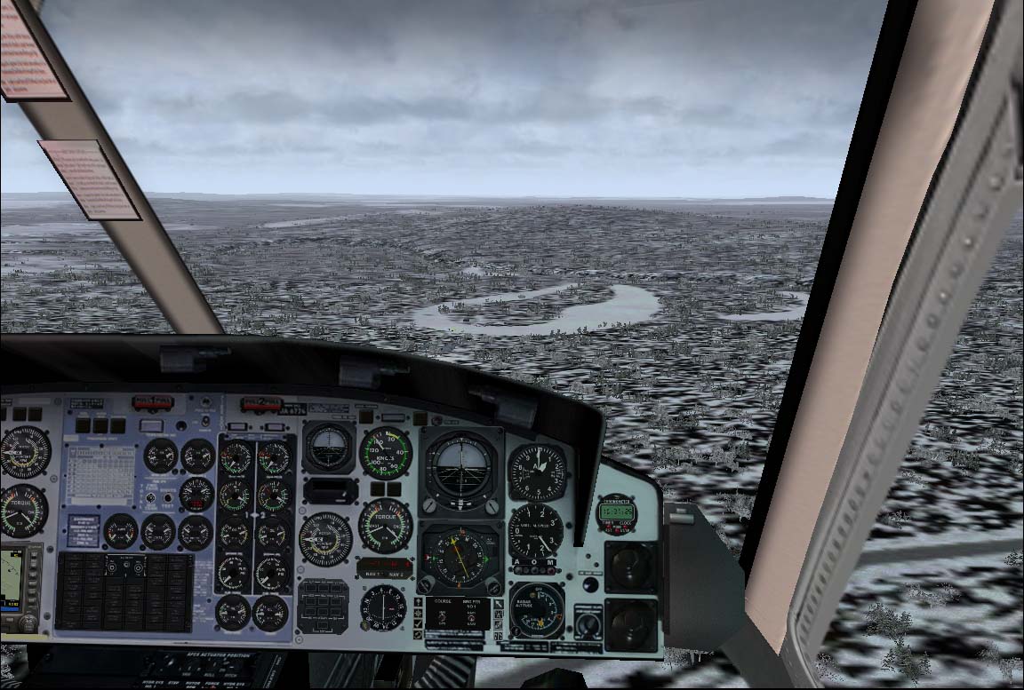
I departed at 15:50 for Iditarod Checkpoint and the weather was not as good as on my arrival: the visibility had dropped to about 2-3 miles and so I decided to stay low with only a few times popping over hills. I mainly followed the 227 radial from MCG VOR and as I was approaching Iditarod the visibility improved to about 10 miles +. And so it was really easy to find Iditarod Checkpoint and the oxbow.
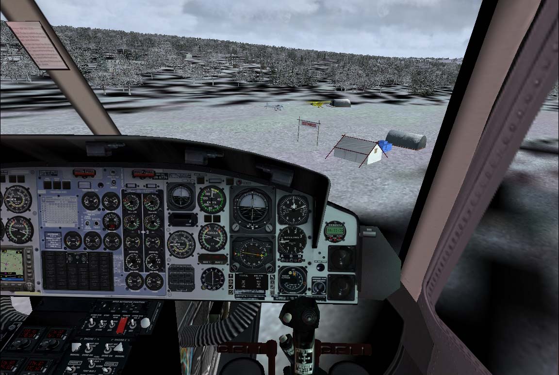
I appraoched Iditarod Checkpoint and landed on the frozen oxbow.
Soon the food bags were unloaded from the helicopter.
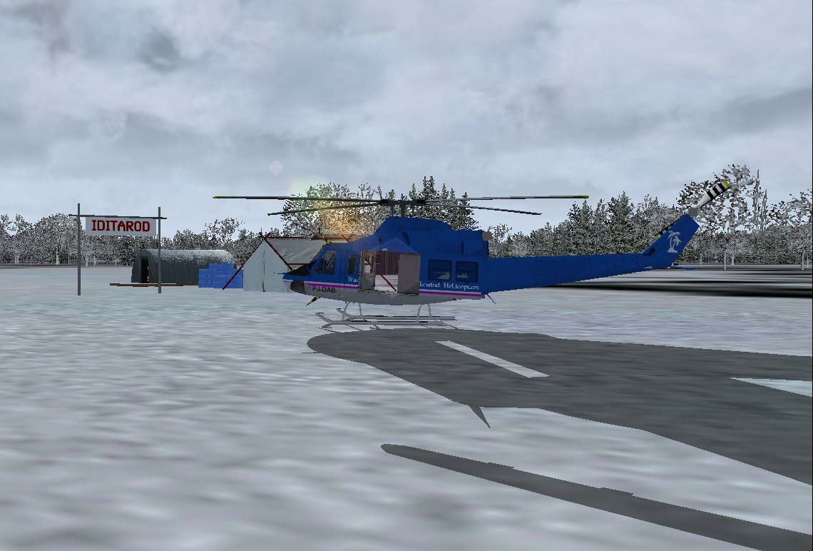
It is now too late to continue on to Kaltag, so I will stay here. I will head out for one of these old cabins and fire up my heater I brought with me to withstand the cold during the night.
Flying time to Iditarod was 45 minutes.
BTW I have added a NDB to Flat airfield AFCAD2 and positioned it at Iditarod Checkpoint for a better finding the Checkpoint, because MSFS doesn't allow direct position entries into the GPS. So this is more or less a workaround of this circumstance.
I can make the file available on request.
Chrstian
No comments:
Post a Comment